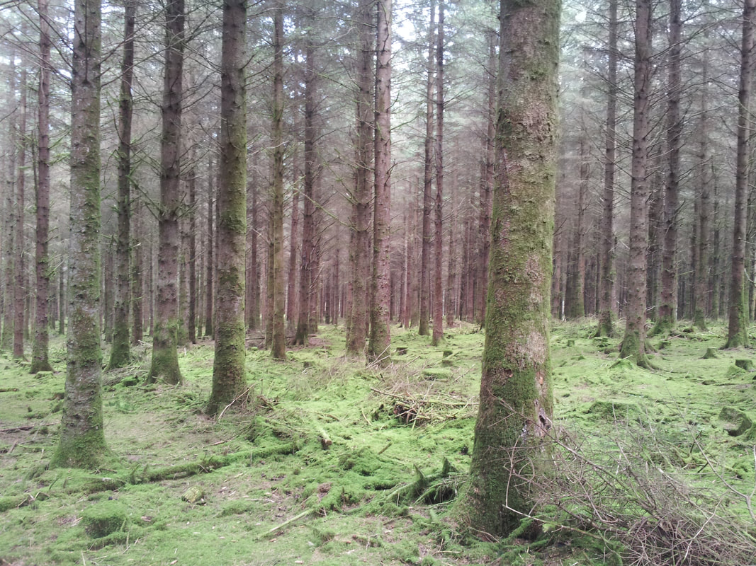
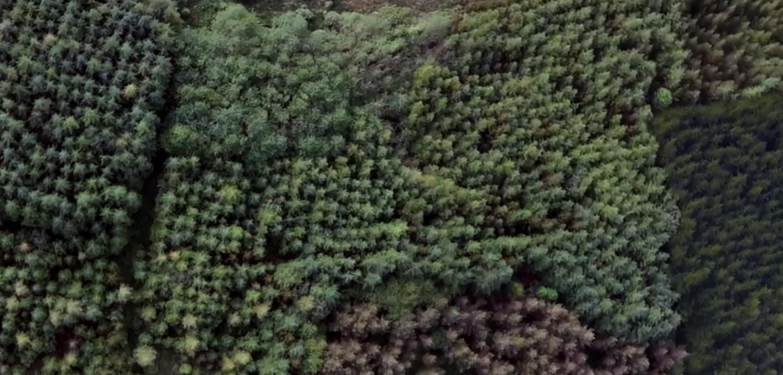
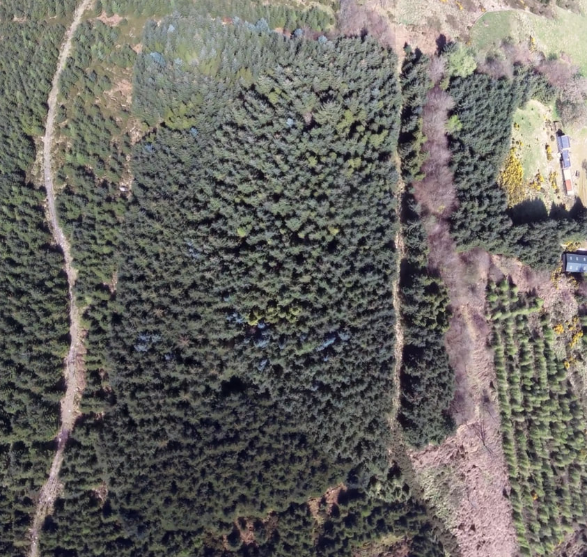
Measurement & Mapping
All-in service offerings include customised combinations of inspection paths, digital timber measurement, live aerial survey, mapping and comprehensive reporting.
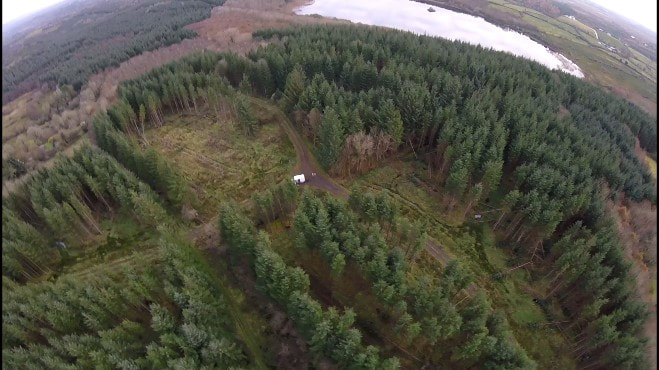
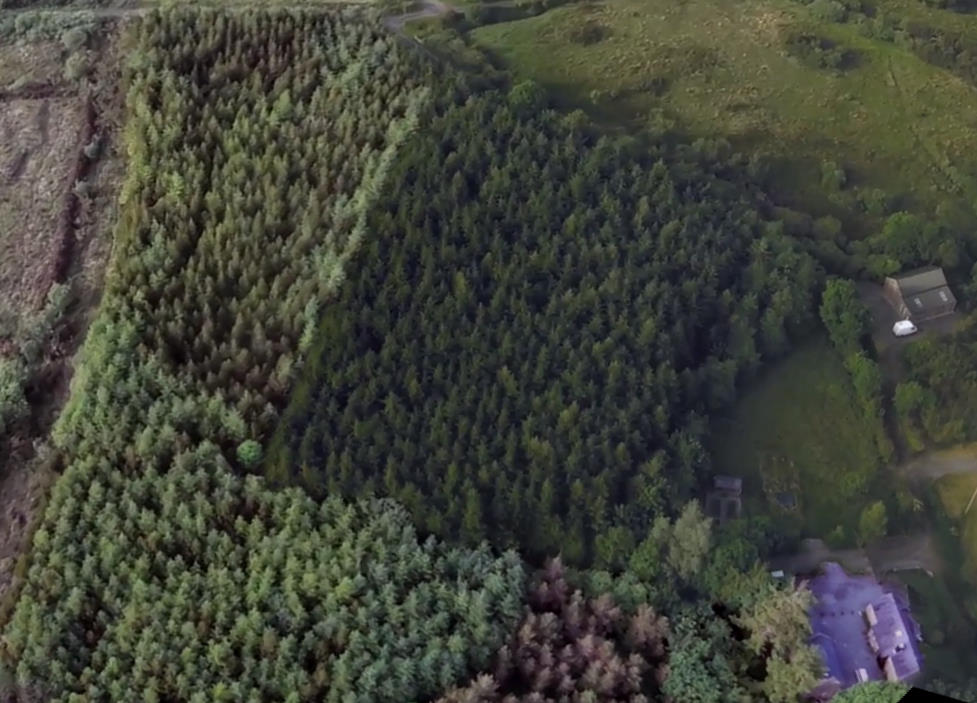
Standing timber volumes are often studied with out-of-date or inaccurate assessments of total productive area. Our timber measurement services not only assess volume but can be presented with accurate productive area figures.
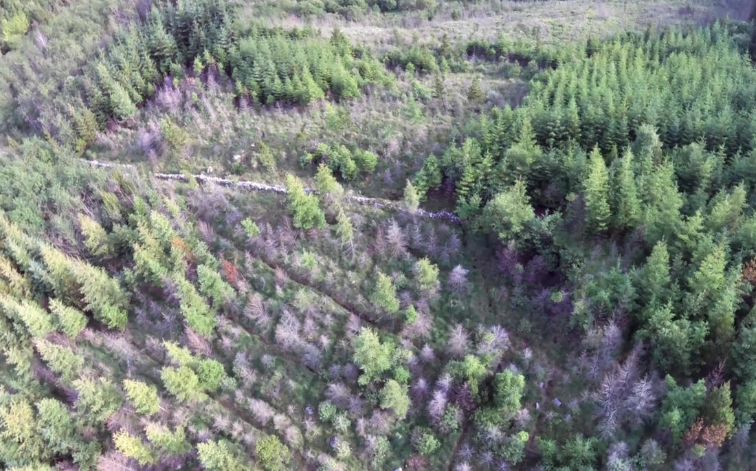
Range of aerial imagery services including:
Standing timber volumes are often studied with out-of-date or inaccurate assessments of total productive area. Our timber measurement services not only assess volume but can be presented with accurate productive area figures.
Range of aerial imagery services including:
- Snap-shot view of the forest;
- Orthorectified images and orthomosiacs;
- Mapping of features such as windblow or fire damage;
- Files prepared for use with ArcView.